The hardware and bandwidth for this mirror is donated by METANET, the Webhosting and Full Service-Cloud Provider.
If you wish to report a bug, or if you are interested in having us mirror your free-software or open-source project, please feel free to contact us at mirror[@]metanet.ch.
![]()
![]()
![]()
This package contains convenience functions I have written to help deal with spatial data spread across multiple UTM zones and aggregating raster data to overlapping polygons.
To install the latest release on CRAN:
install.packages("RWmisc")You can install the latest development version from GitHub with:
library(remotes)
install_github("jayrobwilliams/RWmisc")The functions contained in this package serve to make working with
spatial data on large scale easy, as when carrying out cross-national
analyses with spatial data. The function projectUTM can
project sf and sp objects in latitude,
longitude coordinate reference systems, and can even re-project
already-projected objects in other projected coordinate reference
systems.
library(sf)
#> Linking to GEOS 3.8.1, GDAL 3.1.4, PROJ 6.3.1
library(RWmisc)
nc <- st_read(system.file("shape/nc.shp", package="sf"))
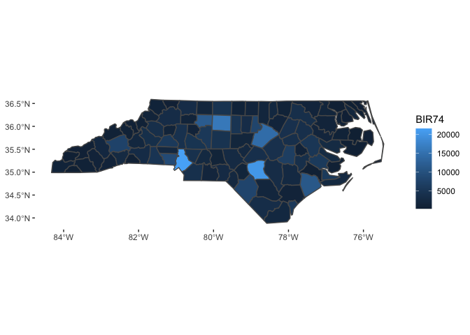
projectUTM(nc)The theme_rw function is the minimalist theme I often
use for figure in my work. While it is useful for standard plots, it is
an especially large improvement over the ggplot2 defaults
for maps.
library(ggplot2)

ggplot(aes(fill = BIR74), data = nc) +
  geom_sf()

ggplot(aes(fill = BIR74), data = nc) +
  geom_sf() +
  theme_rw()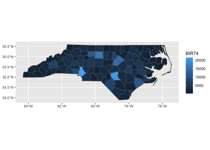
These binaries (installable software) and packages are in development.
They may not be fully stable and should be used with caution. We make no claims about them.